Made it to the Arizona Trail near C.C. Cragin Lake in the Coconino National Forest. This is a pretty high plateu at around 7300+ feet elevation. (my iPhone GPS said I was at 73,330’ - what a bug!!!) Targeting 20M, I did get one contact on 15M @ 1.5w.
C.C. Cragin Lake was very low on water.
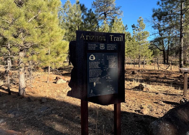
See more about the Arizona Trail HERE
See more photos on Flickr of the C.C Cragin area HERE


Here is the setup:
- PARK: US-4428
- GRID: DM44JN
- ELEVATION: Approx. 7,300 feet
- RIG: uSDX+ HF with ATU100 tuner
- ANTENNA: 20m EFHW 9:1
- BATTERY: 12v Car Battery
Map and Summary:

